How Sustainable Topography Shapes Eco-Friendly Urban Planning

As cities seek to reduce environmental footprints, the concept of sustainable topography – the intentional use of natural landforms and terrain to guide development – is gaining traction among planners and policymakers. Rather than flattening hills, filling valleys, or diverting watercourses at great energy cost, a growing number of projects work with the existing contours to manage stormwater, moderate temperatures, and preserve ecosystems. This article examines recent trends, the background of this approach, common concerns among stakeholders, its likely impact on future cities, and key signals to watch in the coming years.
Recent Trends
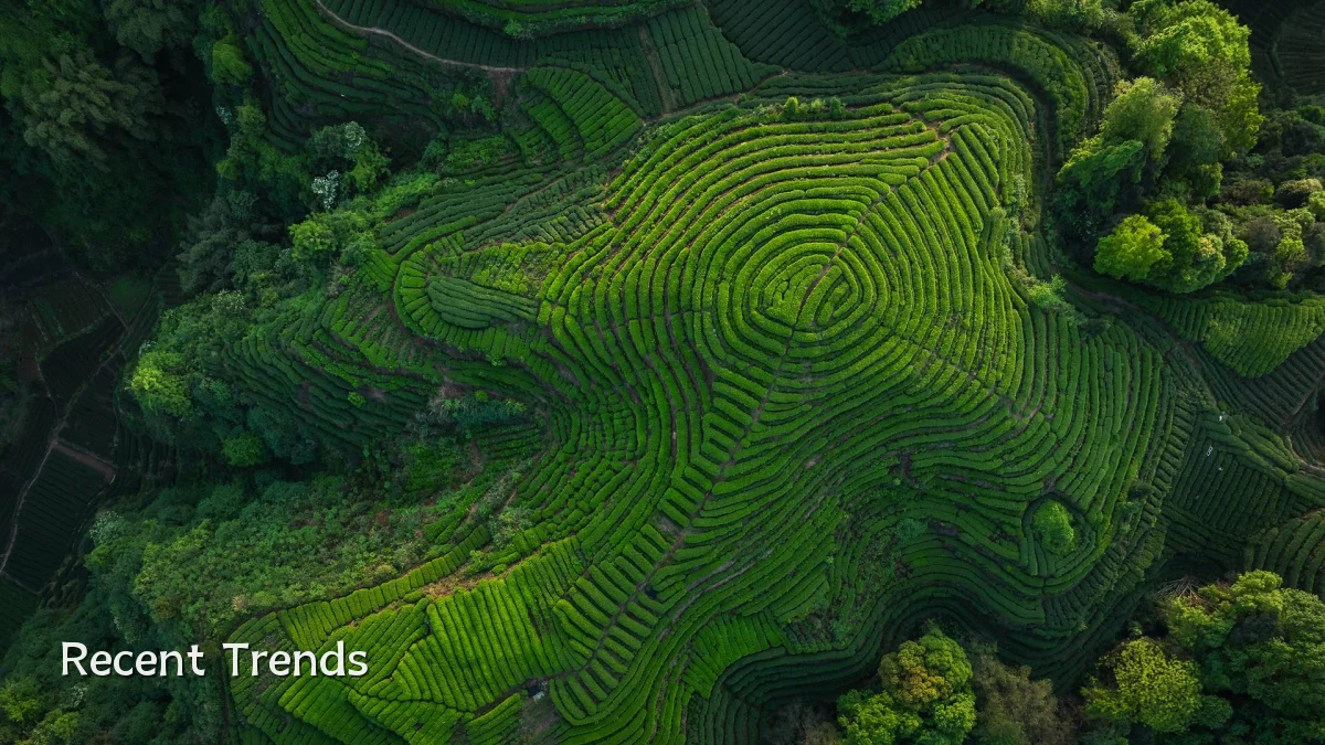
Several municipalities have updated zoning ordinances in the past few years to incentivize developments that minimize grading and retain natural drainage patterns. Pilot projects in midsize cities have demonstrated that building along slope contours rather than across them can reduce erosion control costs by an estimated 20–40 percent. Meanwhile, university research groups are field-testing design guidelines that tie building footprint orientation to local topographic features such as ridge lines and seasonal sun paths. These efforts are often funded by sustainability grants and public-private partnerships, indicating a shift from niche practice to mainstream policy consideration.
Background
The idea of aligning urban form with landforms is not new—ancient settlements from the Andes to the Mediterranean followed natural topography for defense, water access, and microclimate regulation. However, the rise of heavy earthmoving equipment in the 20th century allowed planners to treat topography as an obstacle to be overcome rather than an asset to be leveraged. The modern push for sustainable topography emerged from landscape ecology and low-impact development principles in the 1990s, when researchers began quantifying the carbon and water costs of extensive grading. Today, it is codified in frameworks such as “landscape urbanism” and “sponge city” concepts, which prioritize working with natural gradients to manage runoff and reduce heat-island effects.

User Concerns
Residents, developers, and local officials often raise practical questions when sustainable topography is proposed. Common issues include:
- Perceived constraints on density: Building on irregular terrain may limit the size of flat building pads, raising concerns about housing unit counts and project profitability.
- Accessibility and safety: Steeper slopes can complicate sidewalk gradients, emergency vehicle access, and winter maintenance (e.g., snow removal on curving roads).
- Long-term maintenance costs: Retaining natural drainage channels and vegetated slopes may require ongoing management of sediment and invasive plants, which some fear is costlier than conventional storm sewer systems.
- Equity implications: If premium views or high-and-dry lots command higher prices, there is a risk that sustainable-topography neighborhoods become exclusive, leaving less desirable terrains for lower-income housing.
Planners respond by pointing to lifecycle cost savings and the availability of design tools—such as terrain analysis software and shared streets—that can address many of these concerns without sacrificing sustainability goals.
Likely Impact
If sustainable topography becomes a standard component of urban planning, several broad effects are anticipated. Stormwater infrastructure could shrink in scale because natural contours absorb and convey runoff more effectively than pipe systems, potentially reducing flash-flood risk in dense areas. Urban heat islands may be moderated because building placements that follow slope and prevailing winds improve natural ventilation. Biodiversity corridors can be preserved by avoiding fragmentation of hillside habitats, and the carbon footprint of construction is lowered when less soil is moved and fewer materials are imported for fills. On the other hand, cities that fail to incorporate these practices may face escalating retrofit costs as climate change intensifies storm events and makes tightly engineered, flat developments more vulnerable.
What to Watch Next
Four developments merit attention in the near future:
- Local building code updates: Watch for amendments that require stormwater management to be designed in accordance with pre-construction topography rather than post-grading landforms.
- Public infrastructure investments: Observe whether transportation departments shift from standard cut-and-fill road designs to “topographic alignment” strategies that follow natural ridges and valleys.
- Insurance and resilience ratings: If insurers begin to offer premium discounts for developments retaining natural drainage and slope stability, the financial incentive for sustainable topography will strengthen.
- Case studies in mixed terrain: Look for published post-occupancy evaluations from projects that deliberately combined high-density construction on flat areas with low-density, contour-following development on slopes—potentially showing a replicable hybrid model.